| |
| June
2007
|
Walla
Walla Valley: a Photo Journal |
|
|
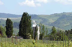 |
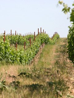
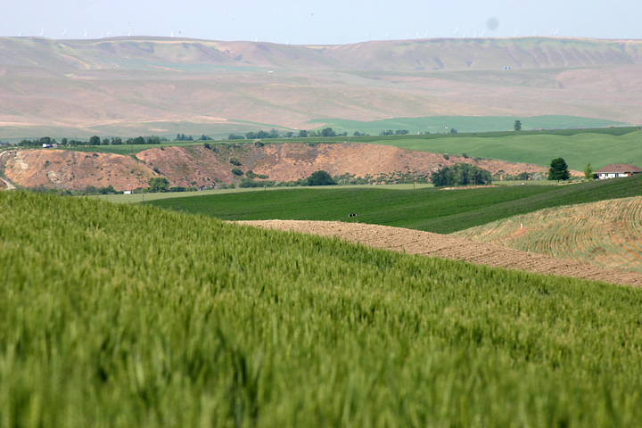
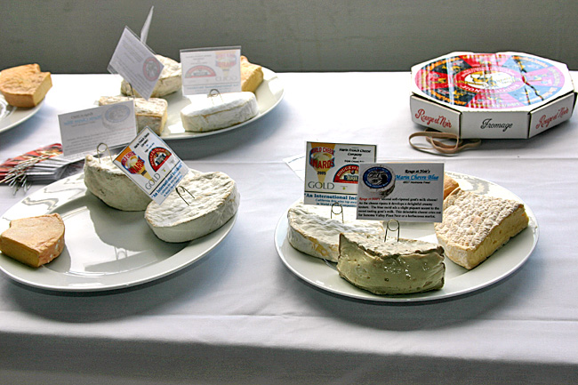
Walla
Walla
Valley is located
in southeastern Washington on the eastern edge of the Columbia and Snake
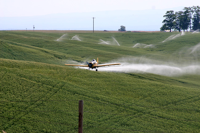
River basins. Currently, Walla Walla County’s
most important commercial crop is wheat, with other local
crops including asparagus, spinach, potatoes, green peas,
alfalfa hay, barley, corn, beans, and of course
Walla Walla Sweet Onions. Obviously, this is one of the primary agriculture-producing regions in the State, but it is also fast becoming
known for its distinctive wines.
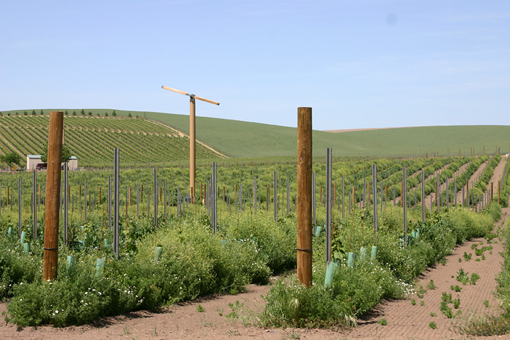
In
1984, the region was federally recognized as a unique American
Viticultural Area (AVA). It was the second Washington State
AVA, and at the time it was home to only four wineries and 60 acres
of vineyards. Today, more than 100 wineries
are operating in the valley and more than 1,500 acres of vineyards
have become part of the agricultural landscape. |
 |
 |
| |

|
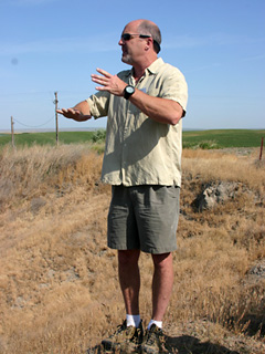 |
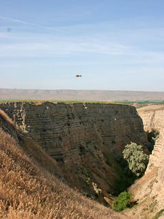
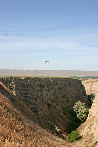
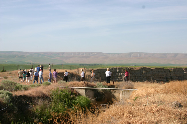
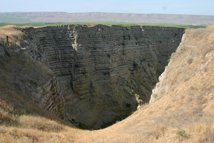
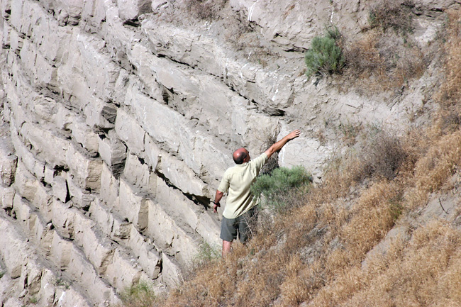
| Kevin
Pogue, Professor of Geology at Whitman College led an educational
tour of the geology, soils, geography, and climate of the Appellation.
Highlight of the trip was a rare look into the Burlingame Canyon,
a small-scale version of the Grand Canyon, formed when an irrigation
canal got out of control in 1926 and carved a canyon is less
than six days, exposing 39 graded beds. It measures 450 m (1,500
ft) long, up to 35 m (120 ft) deep, and again as wide, winding
through a hillside. |
 |
 |
 |
 |
|
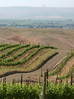
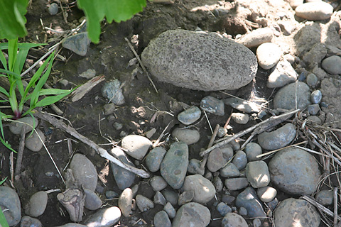
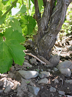
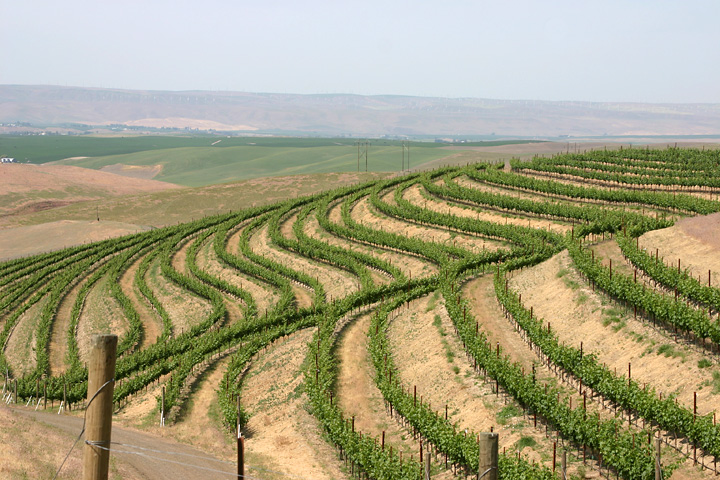
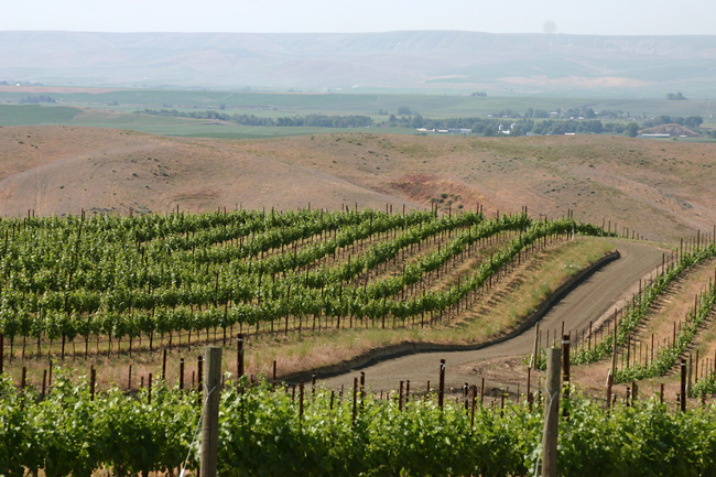
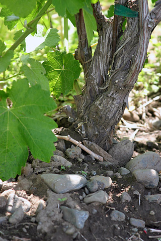
Soils
of varying combinations of loan, silt, loess, and cobbles
delivered by a series of tremendous floods thousands of
years ago, offer perfect drainage. Our position east of
the Cascade mountain range limits the amount of rainfall
allowing growers to control precisely the amount of water
a plant receives through irrigation.
|
 |
 |
 |
 |
| |
| June
2007
|
Walla
Walla Valley: a Photo Journal |
|
|

